Land Development Services

Land Development Services

Integrated Civil Engineering, Planning & Surveying Solutions

Discover Vika’s comprehensive engineering services, including stormwater management, earthwork studies, and water quality assessments alongside 3D visualization, site planning, and advanced surveying. We transform complex challenges into streamlined, innovative outcomes.

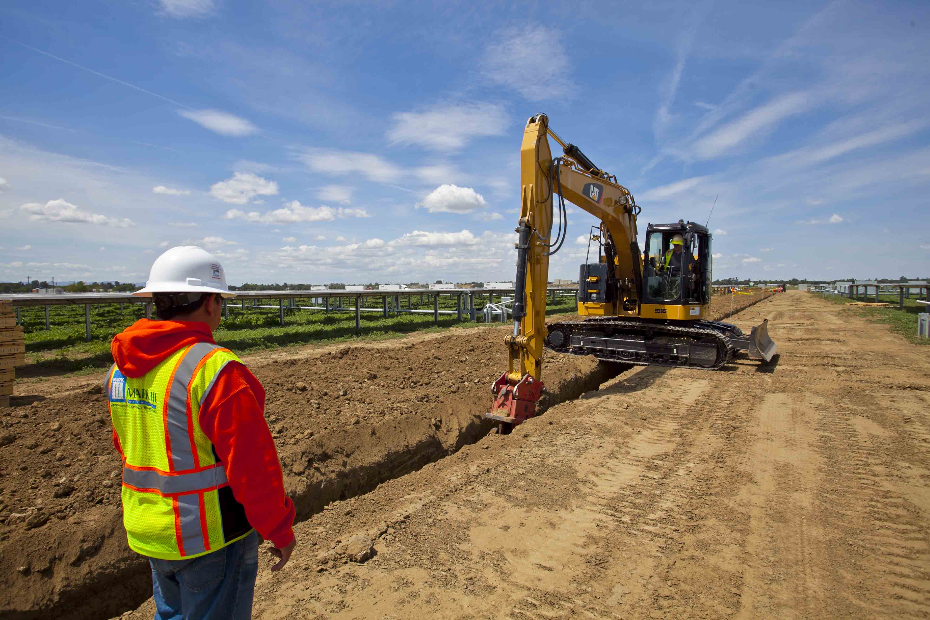
CIVIL ENGINEERING DESIGN

  • Construction Administration
  • Contract Administration
  • Cost Estimates
  • Earthwork Studies
  • Floodplain Studies
  • Pavement Analysis
  • Pumping Stations & Roadways
  • Regional/State-Controlled Dam Designs
  • Sanitary Sewer Designs
  • Sediment & Erosion Control Plans
  • Sewage Treatment
  • Specifications
  • Storm Drainage Designs
  • Stormwater Management Facilities
  • Traffic Control Plans
  • Water Distribution
  • Water Quality Facilities

FEASIBILITY STUDIES & MASTER PLANS

ENTITLEMENT SERVICES

  • Rezoning & Special Exceptions
  • Special Permits

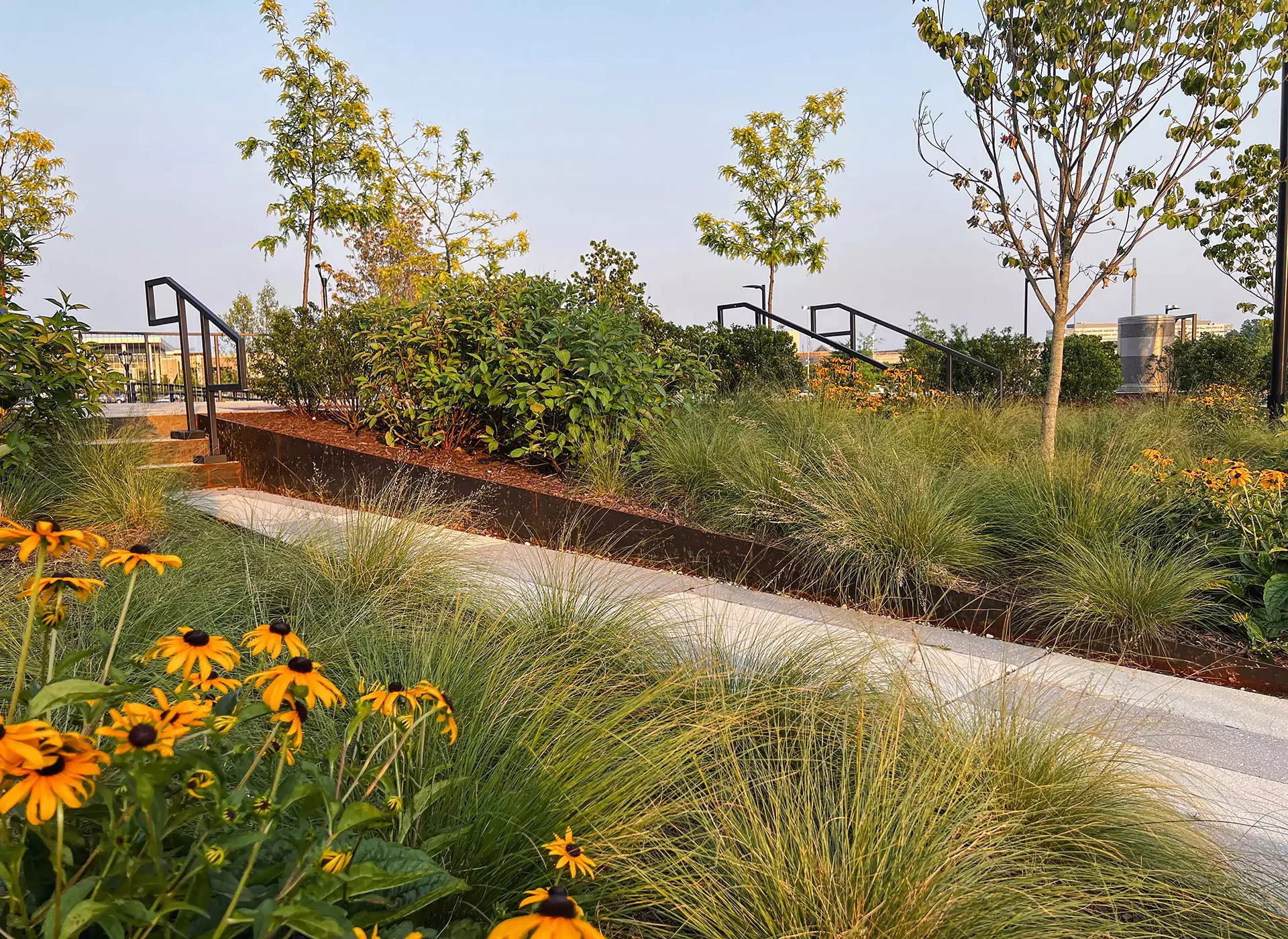
MASTER PLANNING & LANDSCAPE ARCHITECTURE/ARBORICULTURE

  • 3D Concepts & 3D Visualization Presentations
  • Construction Administration & Detailing
  • Detailed Hardscape, Amenity, & Planting Designs
  • Entry Feature Designs
  • Existing Vegetation Maps
  • Full Landscape Construction Detailing & Plans
  • Grading & Drainage Plans
  • Historic & Environmental Preservation
  • Landscape Conservation Plans & Forest Stand Delineation Plans
  • Lighting Plans
  • Planting Designs
  • Plaza & Courtyard Designs
  • Presentation Graphics
  • Public Presentation & Meeting Facilitation
  • Renderings — Hand & Digital
  • Schematic Designs
  • Site Analysis
  • Streetscape Designs
  • Sustainable Designs
  • Tree Inventory, Condition Analysis, Conservation, & Preservation Plans
  • Urban & Suburban Land Planning
  • Zoning Reviews & Evaluations

SURVEYING / GEOMATICS

  • 3D Models/Machine Control
  • 3D High-Definition Laser Scanning Services
  • ALTA/NSPS Land Title Surveys
  • As-Built & Boundary Surveys
  • BIM & REVIT Modeling
  • Building Elevations
  • Condominium Plats – DC, MD, & VA
  • Construction Stakeout
  • Damaged Structure Surveys
  • Detailed Height Surveys
  • Digital Orthography
  • Disaster/Structural Monitoring Services
  • Easement Plats & Documents
  • Existing Conditions Surveys
  • FAA Forms 7460-1 & 7460-2 Filings
  • Façade Surveying
  • Geomatics & GIS Services
  • Geometric Layout Plans
  • Jurisdictional-Specific Services for DC
    • Survey to Mark
    • Plats of Computation
  • Oblique & Vertical Aerial Photography
  • Planimetric Surveys
  • Preparations of Plats & Legal Descriptions
  • Public Space Exhibits & Descriptions
  • Review Title & Encumbrances
  • Right-of-Way Acquisitions for State & Municipal Takings
  • Subdivision/Dedication/Easement Plats
  • Subsurface Utility Engineering – designation and location services
  • Topographic Surveys & Survey Verifications
  • Tree & Forest Stand Surveys
  • Unmanned Aircraft Systems (UAS)
    • Unmanned Aerial Vehicles (UAV/Drones)
  • Utility Surveys
  • Wall Check Surveys
  • Wetland Delineations

CONSTRUCTION INSPECTION & STAKEOUT

  • Buildings & Construction Elements
  • Pavements & Utilities

LEADERSHIP IN ENERGY & ENVIRONMENTAL DESIGN (LEED)

LOW IMPACT DEVELOPMENT (LID) DESIGN

SITE EVALUATION INVESTIGATIONS

SITE PLANNING

SUSTAINABLE DESIGN

WATER QUALITY IMPACT ASSESSMENTS

ZONING & SPECIAL EXCEPTION PLANS

Let’s Work Together!

What are you working on? Please let us know how we can help you meet your project goals.